


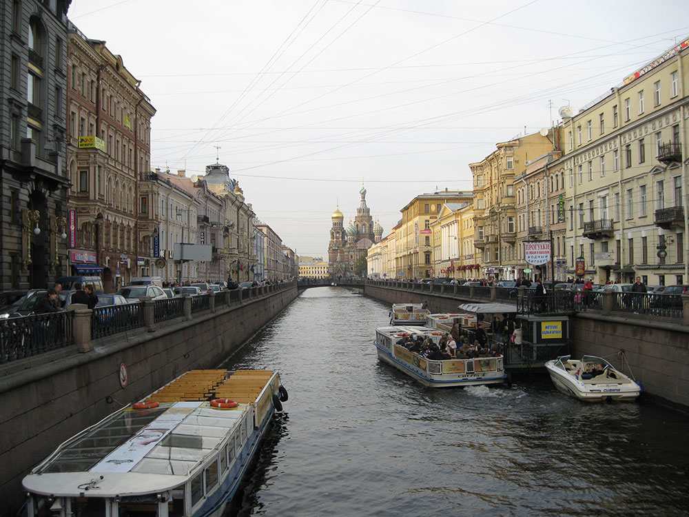
St. Petersburg has over 80 rivers and canals, which divided it into 42 islands. The total length of the rivers and canals is about 300 km.
St. Petersburg-city on the water
There are about 500 hundred bridges (315 in the city, 21 of them are draw ones). This is many more than in other cities famous for their bridges as Venice, Stockholm and Amsterdam. The rivers and canals of St. Petersburg make up 10 per cent of the city’s total area.
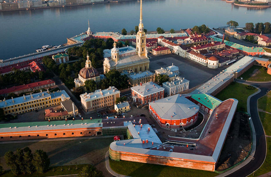
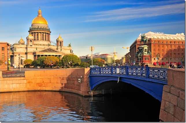
The river Neva and the Islands of the city
The Neva is 74 km long (over 30 km within the city limits). It issues from Lake Ladoga and flows into the Gulf of Finland of the Baltic Sea. The widest part of the Neva is at the gate of the commercial port (1250 m); the narrowest part (340 m) is between Palace and Annunciation Bridges. The deepest part is 24 m deep; the shallowest part is less than 6 m. The biggest islands are Vasilievsky (1090 hectares), Petrogradsky (570 hectares) and Krestovsky (420 hectares).
The Neva, as well as the other rivers and canals, freezes in the wintertime from the end of November till the beginning of April.
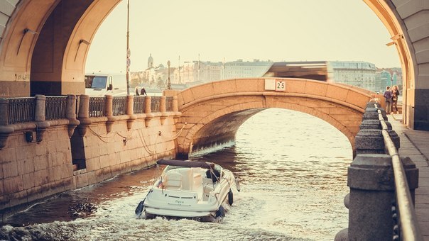
The bridges of the city on the Neva
Peter I banned the construction of bridges across the Neva; instead, every resident of the city received a boat for free and was taught how to use it; the instructions were written by Peter I himself. Only temporary pontoon bridges had been used to span the Neva until the first permanent iron and stone bridge over it was built in 1850. The most famous bridges across the Neva are: the Annunciation Bridge, Palace Bridge, Trinity Bridge, the Foundry Bridge, and Alexander Nevsky Bridge.
The palaces of the nobility
St. Petersburg was laid simultaneously on both banks of the river and is the only European city with a big river where the latter was originally included in the whole architectural ensemble. The embankments are the most prestigious area in any country. That’s why many former palaces of nobility are located along the Neva: the Winter Palace, Grand Duke Vladimir’s Palace, Grand Duke Michael’s Palace, the Marble Palace, the Summer Palace.
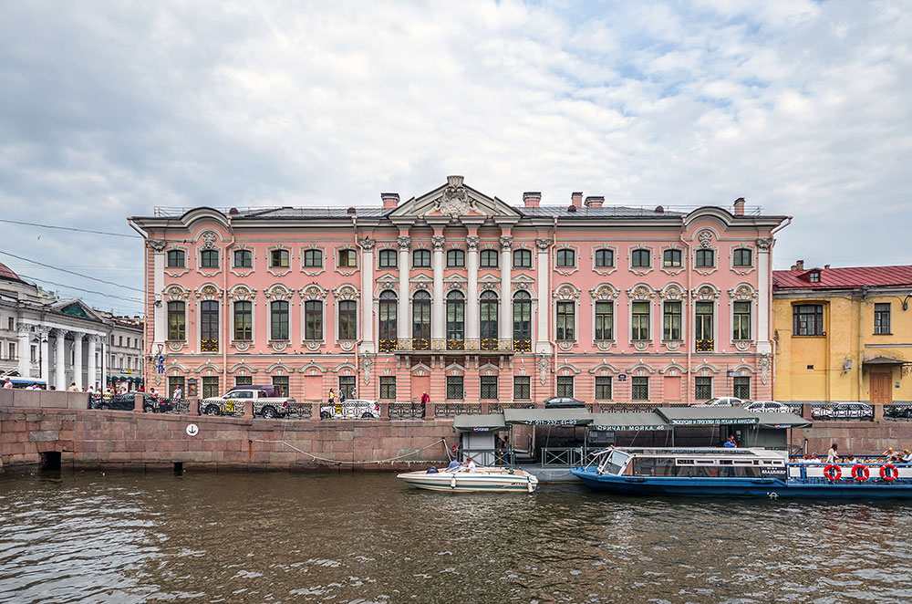
Moyka River
The Moika is 4.67 km long, the width is from 20 to 40 m, and the depth is from 2.3 to 3.2 m. It had been the city’s southern boundary till 1709. The earliest houses built on the riverbanks in 1705 were small wooden dwellings of naval officers and shipbuilders who worked at the nearby shipyard. Later many mansions of wealthy citizens of the city were put along the Moika: the Yussupov Palace, the Stroganov Palace, and the Palace of prince Abamelek-Lazarev.
The Moika, 12 is famous as the place where the prominent Russian poet Alexander Pushkin lived at the end of his life. He rented a flat of eleven rooms on the ground floor. It was here that he died that he died on January 29, 1837 after he had been fatally wounded at the duel that he had fought. At present there is museum flat of the poet.
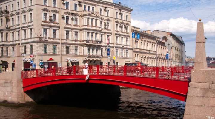
The widest bridge
The widest bridge in the city is the Blue Bridge across the Moika
(99.95 m). It is a one-span cast-iron bridge; a few bridges of a similar design were put across the Moika in the early 19th century. They were named after the colours of their railings: the Red Bridge, the Green Bridge. The other ones across the Moika are: the Choir Bridge, the Lantern Bridge, and the Potseluyev Bridge.
The Fountain River
The Fountain River issues from the Neva, forms a bow around the city center and flows into the Neva again at the Gulf of Finland. Its name goes back to the early 18th century, when the water from the river was used to feed the fountains of the Summer Garden.
The length of the river is 6.7 km, the width is from 35 m to 70 m, and the depth is from 2.6 m to 3.5 m.
The river was the city’s boundary till the middle of the 18th century.
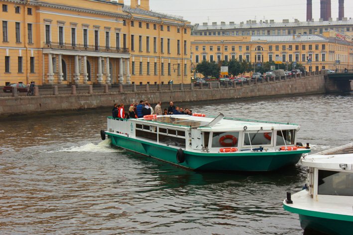
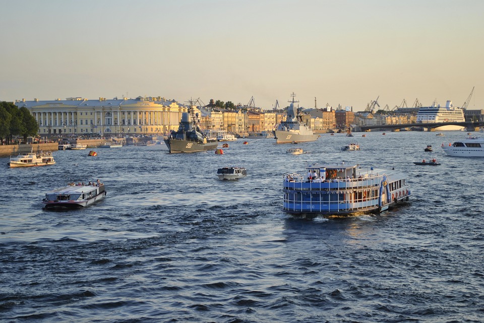
In 1887, the first regular river steamboats started to run down the Fountain River. Water transport was very popular in St. Petersburg: e.g. in 1912 the boats running down the Neva and the Fountain River carried a total of 5.6 mln people, which was twice the population of the city.
Buildings along the river Fountain
The most well known buildings along the Fountain River are: the Michael or Engineer Castle, the Sheremetev Palace, the church of St. Panteleimon, the former Law School, the Tea and Coffee Houses in the Summer Garden.
The most famous bridges across the Fountain River are: the Laundry Bridge, St. Panteleimon Bridge, and the Anichkov Bridge.
The water channels of Saint-Petersburg
Many manmade waterways had been built since the foundation of the city. The Winter Canal was dug out in 1718 to connect the Moika to the Neva. It owes its name to the first two Winter Palaces of Peter I, which used to be on the spot. It is the shortest canal in St. Petersburg.
The Griboedov Canal was built in 1739 to drain the swamp at the Moika riverhead. The Krukov Canal was built in 1719 to connect the Fountain River and the Moika. It was named the contractor Krukov.
The Obvodny Canal, dug out in 1803-1835, was used to prevent high water during the floods and for cargo ships with goods brought to industrial enterprises located along its banks. It issues from the Neva and flows into the Ekateringofka. Its length is more than 8 km.
The Floods
The strongest flood happened on November 19, 1824, when the water level rose 421 centimeters above the normal level; the second strongest one occurred a hundred years later on September 23, 1924, when it raised 380cm above the level. At present a rise of the water level is considered as a flood if it is over 160 cm above the average level of the Baltic Sea near Kronstadt. The floods are classified as dangerous (161-210 cm), extra dangerous (211-299 cm), and catastrophic (over 300 cm).
Throughout its history the city has witnessed 243 dangerous, 77 extra dangerous, and 3 catastrophic floods.
The latest flood, which took place in the city, was on March 10, 2002, when the water level was 182 cm above the normal level. The most recent extra dangerous flood was on November 15, 2001 (216 cm). The most devastating floods are marked on the granite obelisk installed on the Moika embankment near the Blue Bridge.


